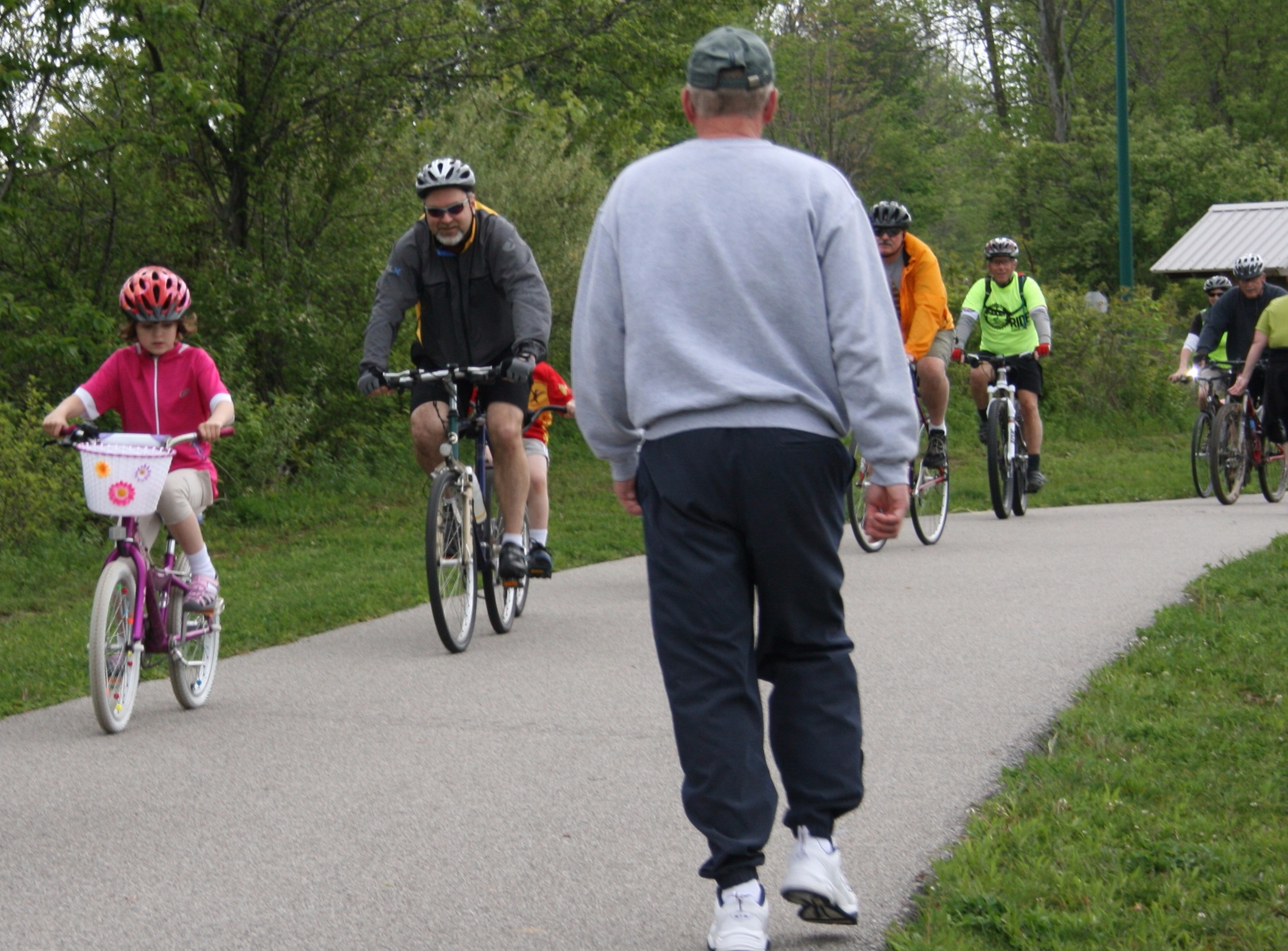
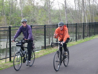
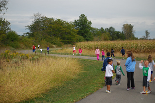
Welcome to the Fort Wayne Regional Trails Network! The network consists of more than 120 miles of multi-use trails in the Greater Fort Wayne Area and it includes more than 82 miles of interconnected trails. These trails provide recreation, health & fitness and active transportation opportunities for residents and visitors alike! Our trails see over 60,000 trail users a month during the summer months. So choose your mode of non-motorized travel and explore the trails! By all means, Walk All Over Us! Below are several of the key trails within the network.
Scroll through this page to get to know our trails!
Current Fort Wayne Area Trail Network: Updated Trails Map
The Fort Wayne Area Trails Network consists of more than 120 miles of trails and it continues to expand! The trails displayed on the regional trails network map are open and available for trail use. The map provides a good understanding of where the trails are located across the Greater Fort Wayne area. Scroll down to take a closer look at some of the individual trails within the network.
If you have a specific question about the trail network, contact us via phone (260)427-6228 or email This email address is being protected from spambots. You need JavaScript enabled to view it..
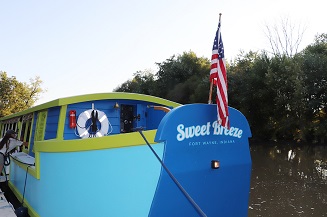
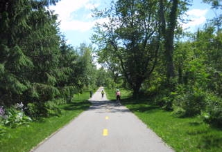
Rivergreenway
The Rivergreenway Trail is a 25 mile long linear park in Fort Wayne and New Haven, Indiana. It is the backbone of a growing network of trails in the Greater Fort Wayne area. The trails run along the riverbanks of the St. Joseph, St. Marys and Maumee Rivers, connecting to 15 city parks and providing trail users with a unique and protected green space for recreation, fitness, conservation and active transportation.
Check out the Rivergreenway webpage for more information about this trail.
Northeast/ Northwest quadrants:
Pufferbelly Trail
Nearly 7 miles of the Pufferbelly Trail have been constructed: 4.75 miles from Washington Ctr north to Life Bridge Church. Another 2.25 miles is constructed from Lawton Park and Fourth St north to Lima Rd and Ice Way. Eventually, this trail will extend from the northern edge of Allen County south 13 miles where it will connect with the Rivergreenway in downtown Fort Wayne. The Pufferbelly Trail is one segment of a State Visionary Trail that will ultimately be 80-miles long, running from Pokagon State Park in Angola to Ouabache State Park in Bluffton.
Pufferbelly Trail's "Golden Spike" Section: Map of trail from Washington Center to Ice Way
Pufferbelly Trail through Allen County: Map of Pufferbelly Trail from north to south in Allen County
Fishing Line Trail
The Fishing Line Trail, located in Northwest Fort Wayne, is named for its history as a railroad corridor. Formerly the Grand Rapids & Indiana Railroad, residents in Fort Wayne used to hop on the trains and head north to Michgan to fish. Now serving as a new type of connection, this trail currently sits at 1-mile long, but eventual plans will offer continuous connection to Noble and Lagrange Counties. Parking is available on Ludwig Road just east of Innovation Blvd. In the near future, a connecting segment will run along Ludwig Rd. and connect the Fishing Line to the Lima Road Trail and the numerous businesses along its length.
Salomon Farm Loop
This 1.65 mile loop on the City’s north side is situated at Salomon Farm Park at 817 W. Dupont Rd. It is the most heavily-used trail within our network. It typically sees an average of 550 trail users per day during the trail season. The loop follows the perimeter of the park’s property and passes by the Parkview YMCA. This loop provides a great setting for walks and runs that are both short and long. In addition, the Salomon Farm loop connects to the existing 4.6 miles of the Pufferbelly Trail on the east side of the park by the Parkview YMCA entrance and is newly connected to the Dupont Rd Trail that spans 1.8 miles from Coldwater to Lima. Lima has trails on both sides of the road from Dupont Rd south to Ludwig Rd creating great connectivity on the north side of the city.
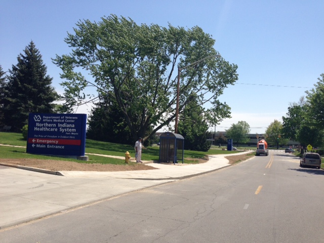
Randallia Drive Trail & Lake Avenue Trail
The Randallia Drive Trail stretches from St. Anne’s Retirement Center to Lake Avenue. By constructing the new sidewalks, repairing some existing sidewalks and creating a trail along the east side of Randallia Drive, neighborhood residents in the area will have more connectivity to the Parkview Hospital Campus, the Mark Slen Trail on the Parkview Campus, the medical offices and the Veterans’ Administration Hospital on Lake. The Lake Avenue Trail, completed in 2022 connects Randallia Dr. to Coliseum Blvd. serving the many residences and businesses located along that corridor. Both the Randallia Dr. Trail and Lake Avenue Trail connect to the Rivergreenway (Maumee Pathway) via a trail segment running just west of Lakeside Middle School.
Southeast/ Southwest Quadrants:
Six-Mile Creek Trail
Currently, the Six-Mile Creek is about 2-miles in length extending from Tillman Park, behind Southtown Centre, north on Anthony to Tillman Rd, extending east to Lamar Drive. Eventually, it will connect Fort Wayne and New Haven when all 8.5 miles are completed (probably 10 years). The trail will also form a 26-mile loop in the Rivergreenway network by connecting the southern terminus of the Rivergreenway in Tillman Park with the eastern terminus of the Rivergreenway in Moser Park. Map of 6-Mile Creek Trail
Hanna Street Trail
Currently stretching from Wallace St. to Pettit Ave., the Hanna Street Trail will eventually serve as a connection between downtown and the Six-Mile Creek Trail. Connection is currently possible through sidewalks, but eventually, wide-and-inviting trail will flow continuously throughout this corridor. This trail serves many neighborhoods and residential areas, as well as many businesses and organizations in the area.
Towpath Trail
Officially called the Wabash & Erie Canal Towpath Trail because of the historic transportation route it follows. This trail is commonly referred to as just the Towpath Trail. It is 5.5 miles from Rockhill Park to the Lutheran Hospital campus, weaving through beautiful neighborhoods, scenic marshlands and near areas of commerce. The pivotal trail created a bike and pedestrian connection between the Aboite Trails and the Rivergreenway, providing more than 79 miles of connected trails within the trail network.
Aboite Trails
Explore more than 18 miles of trails in southwest Fort Wayne on the Aboite Trails. Trailhead parking areas include the Towpath Trailhead at Engle Road and Statesmans Way and also at the Indian Trails Park Trailhead on Aboite Center Road and Westlakes Drive. The Aboite Trails provide a challenging workout for trail users because of the hilly environment. With the completion of the Towpath Trail in 2011, trail users in southwest Fort Wayne are now connected with more than 80+ miles of interconnected trails across the county, including trail access to downtown.
Future Planned and Proposed Trails Map
There are miles and miles of planned and proposed trails in the Greater Fort Wayne Area! It will take many years to build all of the trails featured on this map. The planned trails, featured in brown on the map, are the priority trails that will likely be built before the proposed trails that are featured in green on the map.