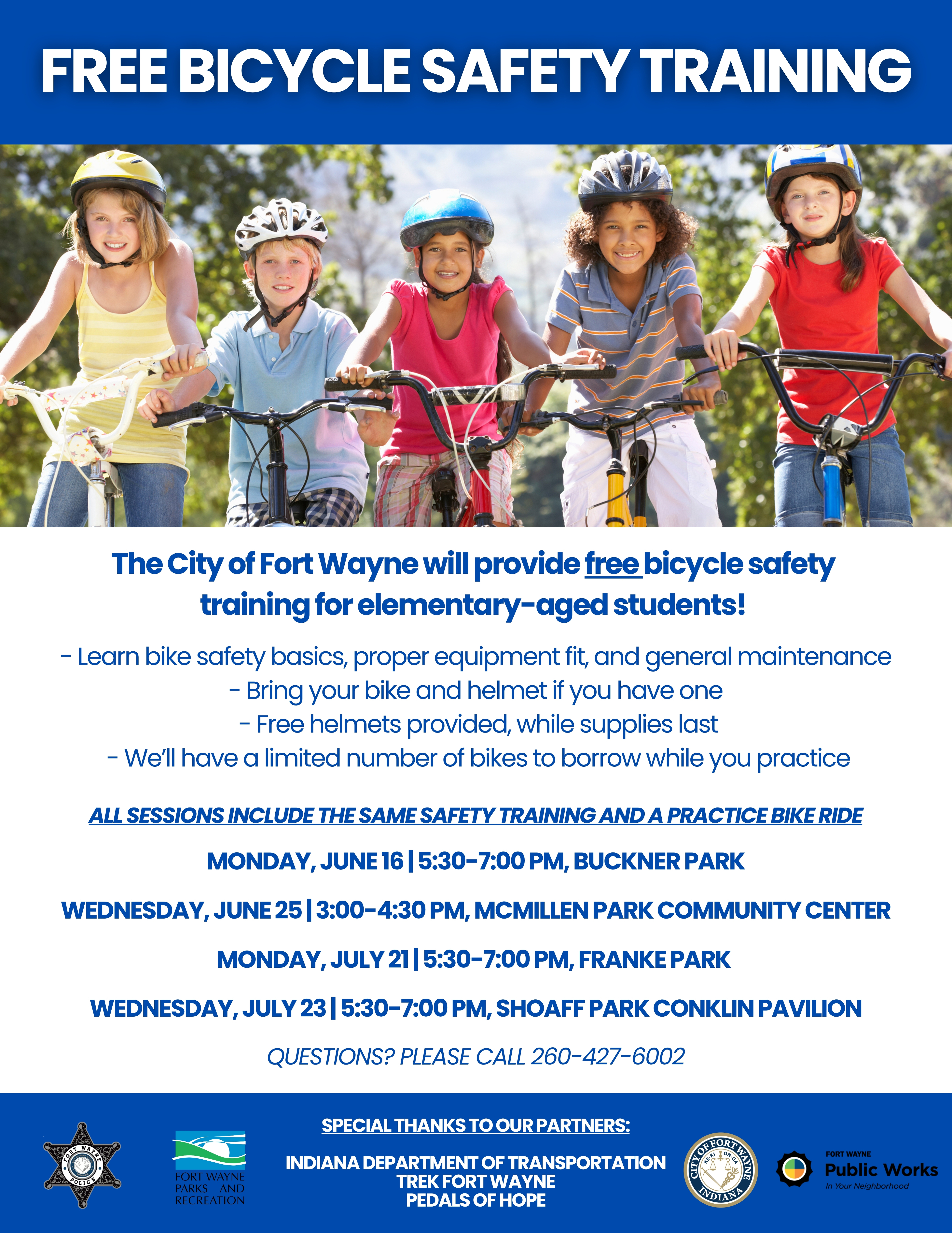
Check out the complete Free Bicycle Safety Training events located around Fort Wayne!
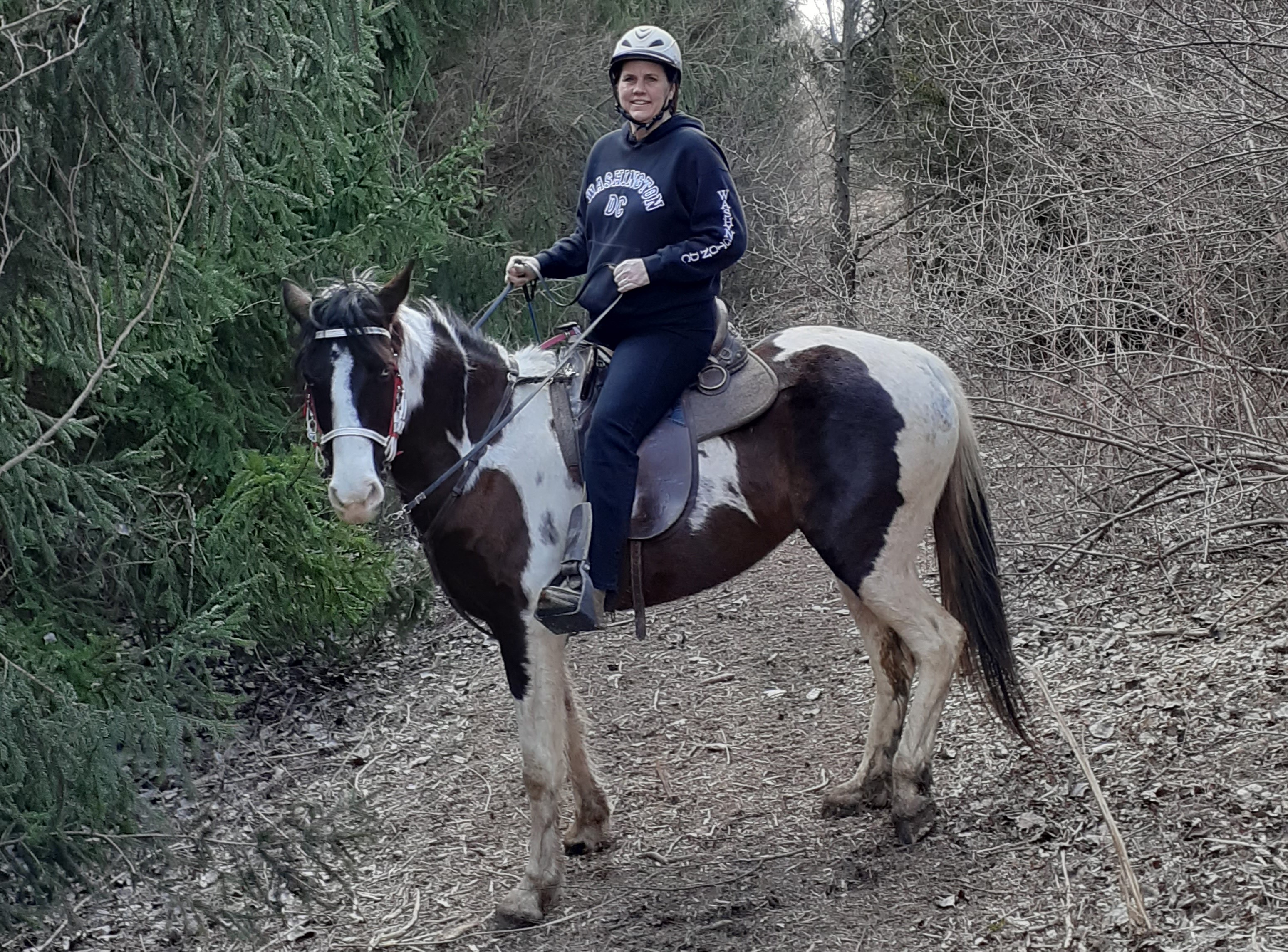
Explore the Trails!
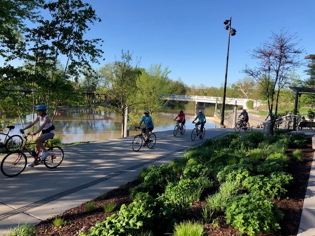
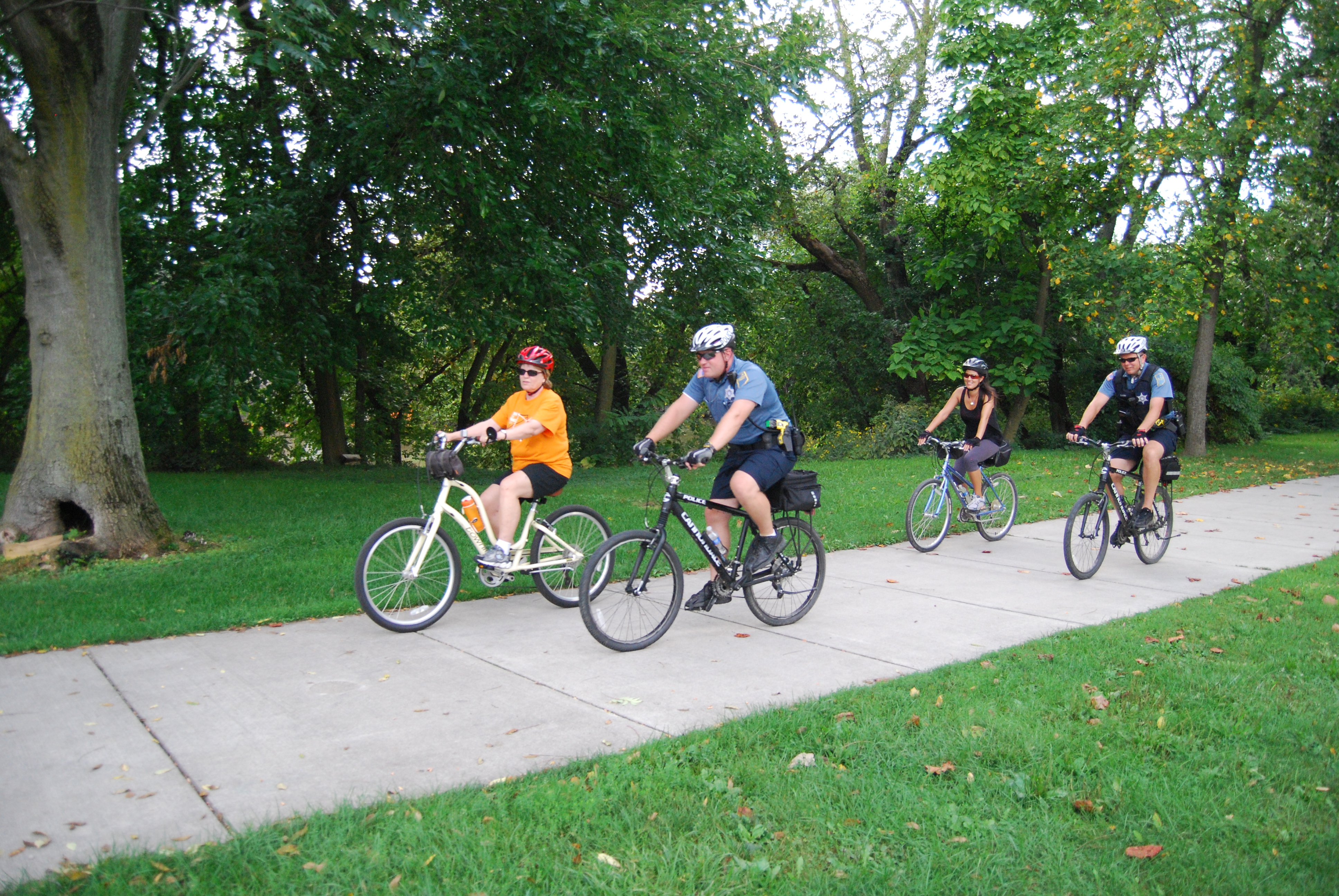
Find fitness, fun, and new friends on the trails! The City of Fort Wayne and Fort Wayne Trails, Inc. offer free, family-friendly trail exploration events where you can get to know the 153 miles of trails within the Greater Fort Wayne Trail Network. Starting locations vary, and all skill levels are welcome. Individuals are responsible for their own safety at all trail events.
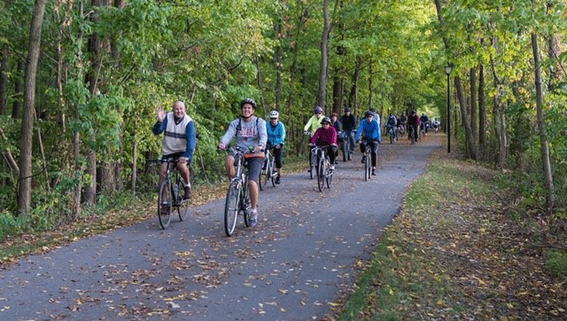
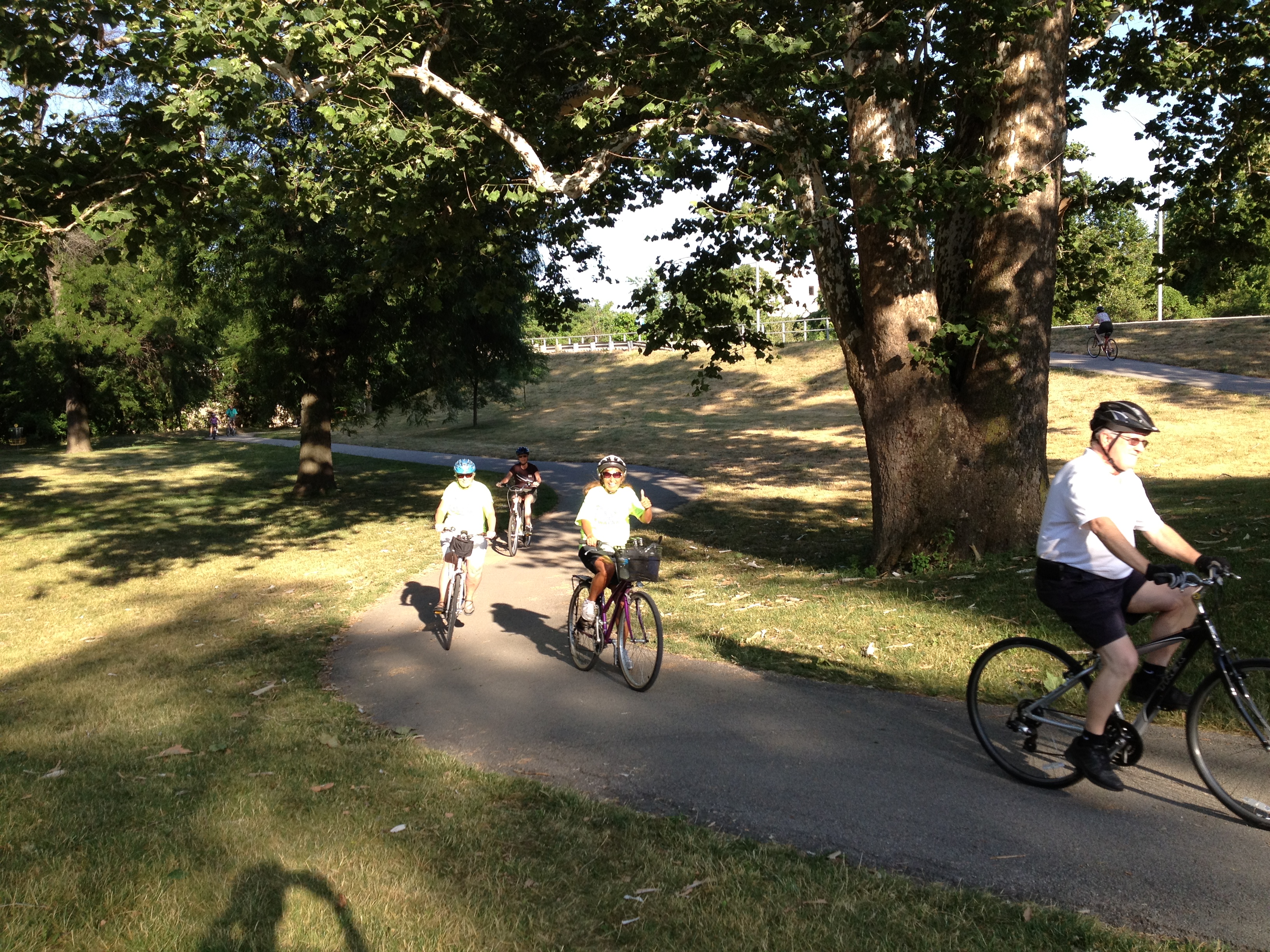
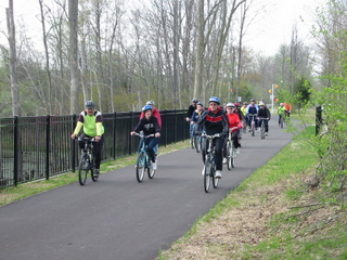
Trek the Trails: These guided group bicycle rides take place every other Tuesday at 6:00 PM. Helmets are strongly encouraged.. Ride lengths vary, routes are posted on the Fort Wayne Trails, Inc. Facebook page. Participants should come prepared with water. Trek the Trails dates (Bicyclists ONLY).
2025 Trek the Trails Schedule
|
Date
|
Tuesday - Trek the Trails Ride Start Locations
|
Length
|
|
4/29/2025
|
Promenade Park (Trek/Tread the Trails Kick-off)
– Event
|
8.49 Miles
|
|
5/13/2025
|
Cookie Cottage – Event
|
8.13 Miles
|
|
5/27/2025
|
Rockhill Park – Event
|
8.74 Miles
|
|
6/10/2025
|
Moser Park – Event
|
7.43 Miles
|
|
6/24/2025
|
Turnstone – Event
|
8.38 Miles
|
|
7/8/2025
|
Life Bridge Church - Event
|
9.05 Miles
|
|
7/22/2025
|
Fellowship Missionary Church – Event
|
6.87 Miles
|
|
8/5/2025
|
Shoaff Park – Event
|
7.17 Miles
|
|
8/19/2025
|
Buckner Park – Event
|
7.24 Miles
|
|
9/2/2025
|
Foster Park – Event
|
7.81 Miles
|
|
9/16/2025
|
Towpath Engle Rd Trailhead- Event
|
7.67 Miles
|
|
9/30/2025
|
Night Ride – Covington Elementary School – Event
|
9.75 Miles
|
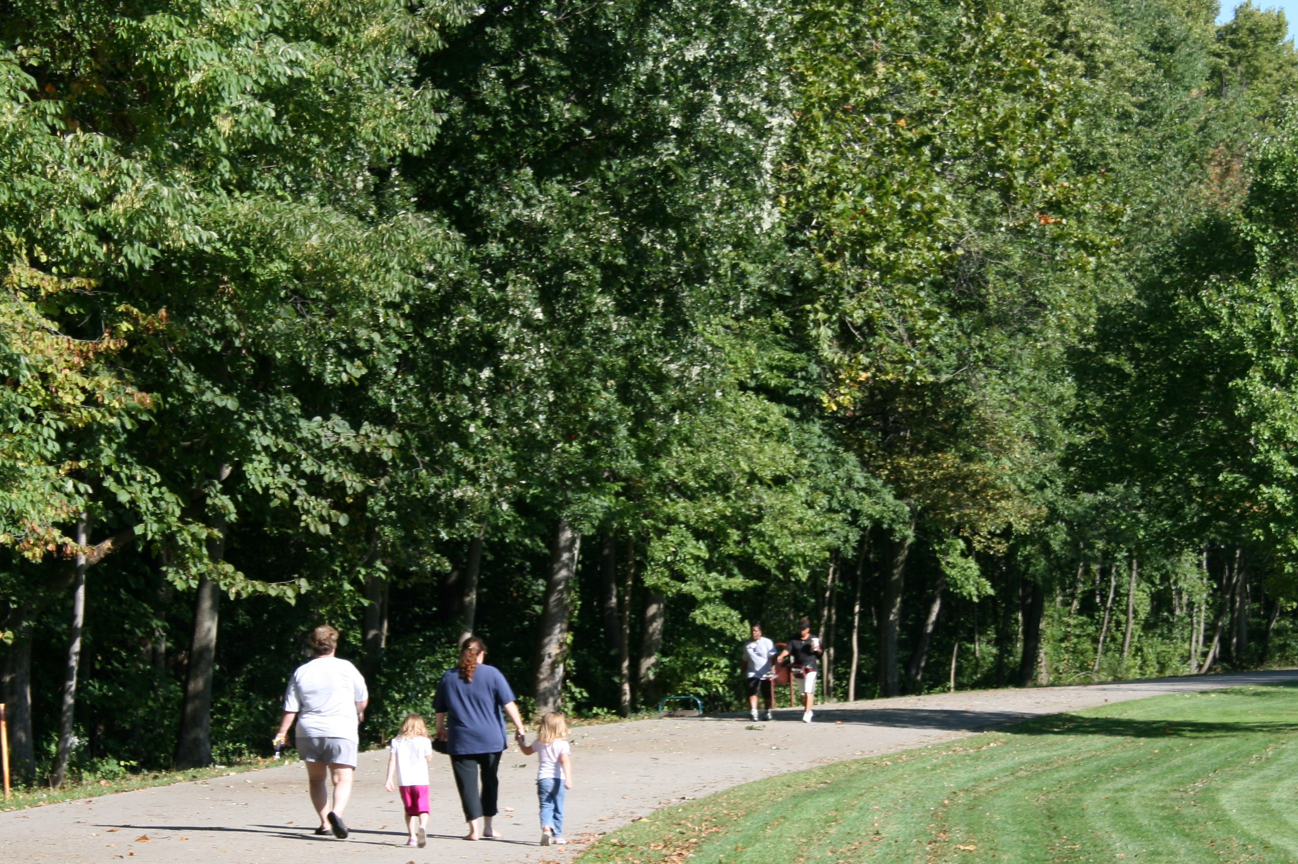
Tread the Trails events take place every other Thursday at 6:00 PM. The Fort Wayne Running Club, the City of Fort Wayne and Fort Wayne Trails, Inc. will provide guided 1 mile & 5k walks/runs beginning at different locations on the trail network. All ability levels are encouraged to attend, including those with mobility devices.
2025 Tread The Trails Schedule
|
Date
|
Thursday - Tread the Trails Ride Start Locations
|
|
4/29/2025
|
Promenade Park (Trek/Tread the Trails Kick-off)
–Event
|
|
5/15/2025
|
Cookie Cottage – Event
|
|
5/29/2025
|
Rockhill Park – Event
|
|
6/12/2025
|
Moser Park –Event
|
|
6/26/2025
|
Turnstone – Event
|
|
7/10/2025
|
Life Bridge Church - Event
|
|
7/24/2025
|
Fellowship Missionary Church – Event
|
|
8/7/2025
|
Shoaff Park –Event
|
|
8/21/2025
|
Buckner Park – Event
|
|
9/4/2025
|
Foster Park –Event
|
|
9/18/2025
|
Towpath Trailhead – Event
|
For more information about either program, call the City of Fort Wayne Greenways Department at 260-427-6228 or Fort Wayne Trails, Inc. at 260-969-0079. Follow Fort Wayne Parks and Recreation or Fort Wayne Trails, Inc., for weather-related updates.
Safe Trails are Happy Trails.
Mid-Block Crossings can be confusing for everyone. Who has the right of way? When should cars stop? When can pedestrians cross?
Watch this video to learn more about the proper way to navigate crossing in the middle of a street, rather than at an intersection!
When traveling on city streets, bicycles have the same duties and rights as motorists. Know and practice the rules of the road.
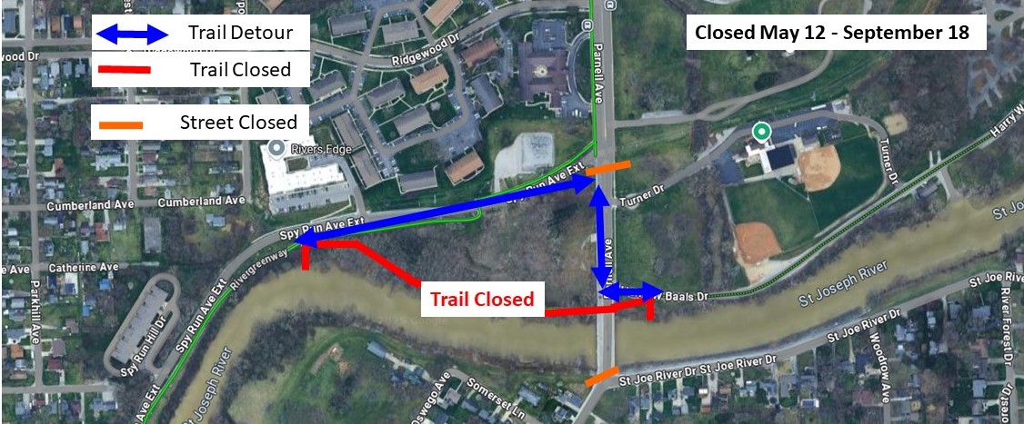
2024 Trail Counts Hits One Million!
The trail counts in the City of Fort Wayne officially hit one million for the first time in history! In 2024, the 21 infrared trail counters spread across the City’s trail network captured 1,008,243 uses. Trail users walking, running, or cycling, along the trails combined to reach historic number.
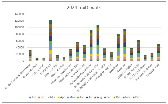
Please note: Some trail counts contain averages due to temporary counter failures.
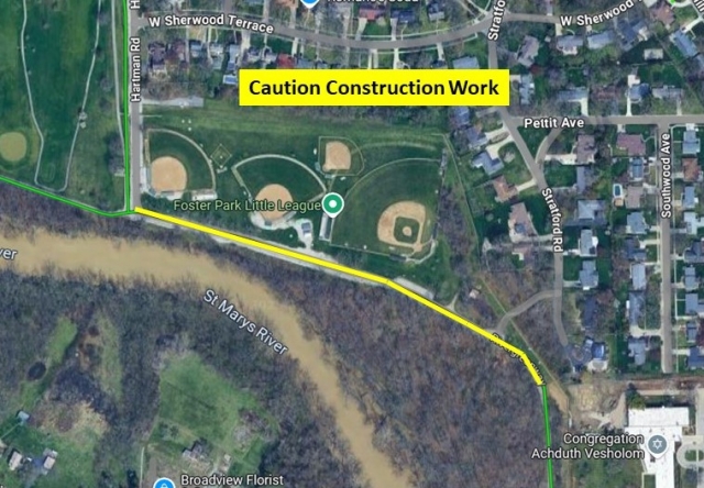
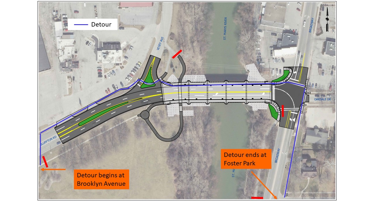
How are the Trails growing?
Learn more about current projects involving trails within the Greater Fort Wayne area PROGRESS STATUS REPORT MAY 2025 | 2025 PROGRESS STATUS MAP
Want to help the trails expand even more? Do so while you drive!
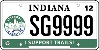
Support Trails with a Trails License Plate!
Consider a purchase of this Trails Plate to show your support for all types of trails in Indiana. The foundation will use the proceeds as grants to trail groups throughout the state of Indiana. This special plate is an additional $40, of which $25 goes to the Greenways Foundation. The Greenways Foundation envisions a statewide trail, greenway, and bikeway system that provides access to trails for all Indiana citizens. This world-class Hoosier greenways system connects scenic, cultural, historic, recreational, tourist, and economic sites in Indiana’s urban and rural communities, is convenient to people of all cultures, ages, and abilities, and is one of the state’s most powerful tools in achieving economic growth, a healthy citizenry and livable communities.
It’s simple to purchase the plate! Online, simply visit
www.mybmv.com and navigate to the
special license plates. You also can go in person to your local license branch or order through the mail. New this year: all license plates are now mailed to you. You can get a tax break when buying this license plate that advocates for a charitable cause. You can deduct this fee on Schedule A of your taxes.
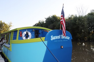
The Rivergreenway is open from 6 am -11 pm daily for your enjoyment. For additional information about any trail events or general inquiries, please e-mail: This email address is being protected from spambots. You need JavaScript enabled to view it..