Noll Park

Noll Park

Size in acres: 9.2
Since 1974

Noll Park is located at Taylor Street and N. Washington Road. For more detailed location information, check out the General Park Map  or Noll Park Map 

History

Noll Park was dedicated on November 6, 1974 to William Frederick Noll. This piece of land was a gift to the City from Ms. Rose Fox and Mrs. Brett Lashell, the daughters of William F. Noll.

This park features over 9 acres of wooded area with open space for picnicking.

miner7

Miner Playground  

Size in acres: 1.8

Since 1973

Miner Playground is located at Miner Street and Dewald Street.  For more detailed location information, check out the General Park Map  or Miner Playground Map 

History

In 1964 the Park & Recreation Department leased open space at on Miner Street between Walnut and Poplar streets for a basketball court from Helen O'Connor. O'Connor Construction closed its office and the entire property was put up for sale.  In 1971 the Department leased the entire property for 15 months with an option to purchase and the rental fees to apply to the purchase price if the option was exercised. In 1972 the Park Department exercised its option to buy. The purchase price was set at $35,000.  In 1971 Miner Community Center opened on this site.  In 1989 Miner Community Center closed after almost 20 years of operation and was then leased to the Boys & Girls Club. Since that time the former Community Center property has been sold.

Located one block north of the former Miner Center is Miner Playground. In 1963 The Board of School Trustees authorized the old Miner School property be transferred to the Park Board for playground purposes.  Since that time this playground has been used by countless children.

This playground features multiple slides and other amenities as well as a swing set.

John Street Park

John Street Park      

Size in acres: .17

Since 1975

John Street Park is located in the 2500 block of John Street, north of Pontiac Street.  For more detailed location information, check out the General Park Map  or John Street Park Map 

History

John Street Park was privately owned by Sheldon Hine who sold it to Robert Musser for “one dollar and other valuable consideration.” The Parks and Recreation Department then purchased this land in 1975 from Mr. Musser and converted it into John Street Park.

This park features a playset with multiple slides, swing set and climber.

littleturtle4  littleturtle6

Little Turtle Memorial   

Size in acres: .13

Since 1959

Little Turtle Memorial is located east of Spy Run Avenue at Lawton Place.  For more detailed location information,
check out the General Park Map  or Little Turtle Memorial Map 

IMG 2713IMG 2710

History:

Chief Little Turtle is a man worth remembering because of his dedication to peace.  The Chief's last resting place was discovered during the construction of a house in 1912.  Mary Catherine Smeltzly, a retired history teacher, donated the land for this memorial park to Chief Little Turtle in 1959.  A grave marker was dedicated on June 13, 1960. 

Now the park serves as a quiet respite in a busy city and befitting a man who dedicated himself to peace.

 IMG 2714      

This memorial is the site of the final resting place of the great Miami Chief.

Repka bench pavilion playground


Ronald G. Repka Memorial Park      

Size in acres: 3.7

Since 2004

The Ronald G. Repka Memorial Park is located on Homestead Road, just south of Liberty Mills Road and Fire Station 18.  For more detailed location information, check out the General Park Map  or Ronald G. Repka Memorial Park Map 

History

From the late 1990’s on the area was being surveyed and considered for a park area.  Through pursuing various funding avenues the Parks and Recreation Department was able to purchase the land in 2003. Building a new park as well as a fire station was very well received by the neighbors in the Aboite Township area. Homestead Park opened in 2004 and was renamed Ronald G. Repka Memorial Park in 2012.  The park is named after Ronald G. Repka who tragically lost his life after being struck by an impaired, speeding motorist while cycling on a country road.  Repka's death helped prompt an ongoing campaign to develop safer off-road trails and sidewalks in Aboite Township which eventually led to the creation of the Aboite Trails Network.  

WHAT TO DO 

Scroll down for more information about our park features:
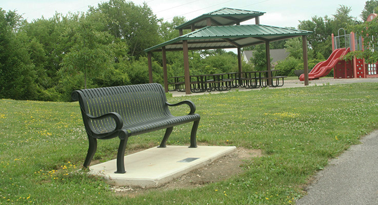

Pavilion

 Repka pavilion


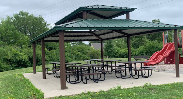
The park features an open air shelter with picnic tables that is available on a first come/first served basis.
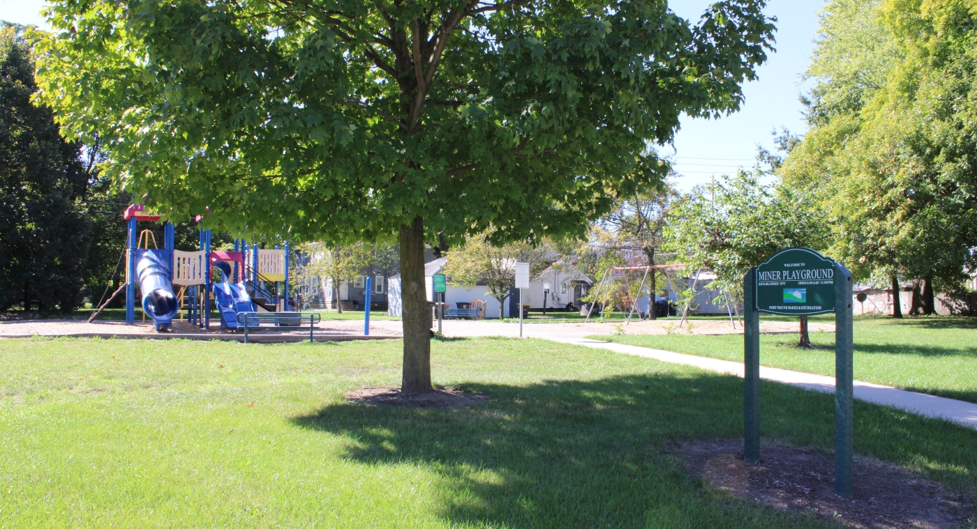
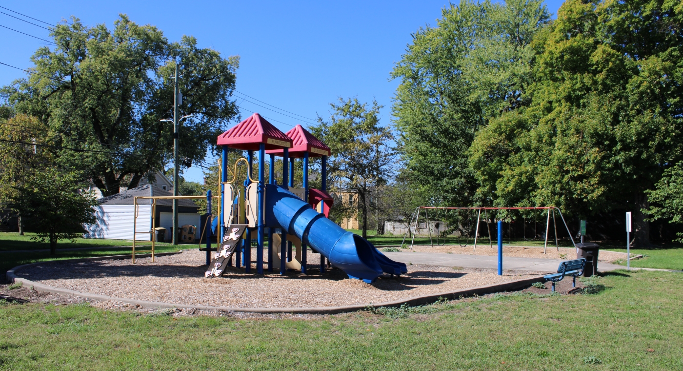
Playground

Repka playground

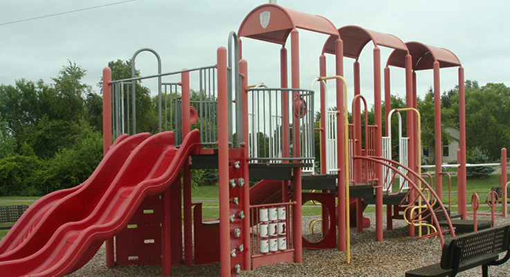
Children will love this special fireman-themed playground that boasts multiple slides and other amenities.
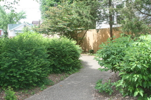
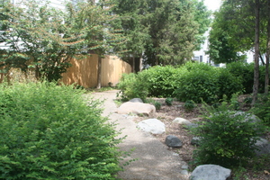
Trail

Repka trail

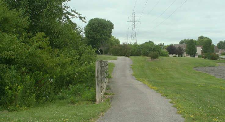
A .37 mile paved walking path loops around the park and connects to Aboite New Trails and the Liberty Glen Subdivision.
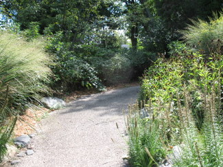
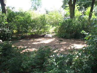
Natural swale

Repka natural scene

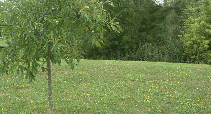
For nature enthusiasts, Ronald G. Repka Memorial Park has a natural swale with a variety of bird, insect and plant life.

RFW Logo Hori RGB 01

ENGAGE FORT WAYNE

IMAP.NEW

NOW AVAILABLE!  Search for parks, trails, activities and more.

We want your feedback!

new_blue_64x64Take our on-line survey now!
This quick and easy survey will only take 1 minute or less and will provide us with valuable information!

Upcoming Events

Explore the Trails!
30 Apr 2024   6:00 pm -
Swinney Homestead Open House
3 May 2024  10:00 am - 4:00 pm
Settlers, Inc. Annual Herb and Perennial Plant Sale
4 May 2024   9:00 am - 12:00 pm
Mother's Day Plant Sale
10 May 2024   1:00 pm - 7:00 pm
Mother's Day Plant Sale
11 May 2024  10:00 am - 4:00 pm

Translate Content

enfrderues

This institution is an equal opportunity provider.

treecityusalogosm  BirdTownIndianaLogo RFC Logo

Fort Wayne Parks & Recreation Department  705 E. State Blvd.   Fort Wayne, IN 46805  (260) 427-6000 • Office hours: Monday-Friday 8 am-5 pm  parkswebmaster@cityoffortwayne.org